
Botanical Inventory of the Riparian Zone of the Po River
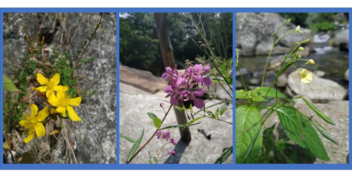
A comprehensive checklist of plants colonizing the riparian zone of the Po River (from Ostana to Pian Beatrice) was compiled by two students from the University of Zaragoza, Alberto Cirera and Miguel Guerra, during their stay in Ostana in July 2022. This work was part of the UNITA rural mobility project, in collaboration with the Viso a Viso cooperative. The inventory includes over 100 botanical species, detailed in the accompanying report.
INTRODUCTION Globally, rivers provide ecological services for human societies (Millennium Ecosystem Assessment, 2005). Understanding their functioning and assessing their biodiversity can help us adapt to their changes and promote the sustainable use of water resources, improving quality of life. It is well known that rivers and their hydraulic dynamics have a significant impact on the riparian vegetation (Camporeale et al., 2013), while the productivity and diversity of vegetation, in turn, influence sedimentation and the biochemical processes of watercourses (Tabacchi et al., 1998). The present floristic inventory aims at serving as a starting point for understanding the vegetation aspect of two areas in the upper Po Valley. The assessment included the abundance of trees and shrubs, identifying them at the species or genus level.
STUDY AREA The flora inventory (focused mainly on angiosperms) was conducted in two areas, each measuring 100 to 200 meters in length and extending 10 meters on either side of the river.

The species were classified into two categories: "trees and shrubs" and "herbaceous plants". The quantity of trees and shrubs was also estimated in three categories: rare, common and abundant, for each area.
We studied which species are found on the northern side of the mountain, particularly moisted (species that require more water are more competitive in these growing conditions), and which species are found on the southern side, less moisted and sunnier. Within Area 2, the "River" zone represents a sediment bar located at the center of the watercourse.
RESULTS The table below provides the legend to interpret the checklist data, with data on distribution and abundance.

In the table below, the list of species for trees, shrubs, and herbaceous plants in Area 1 is provided:


In the table below, the list of species for trees, shrubs, and herbaceous plants in Area 2 is provided:


A total of 111 species were identified in both Areas: 32 species specific to Area 1, 30 unique to Area 2, and 49 shared between both areas. Considering only trees and shrubs (including vines), 27 different species were found, with 7 unique to Area 1 and 9 unique to Area 2.
The distribution of trees was found to be uneven between the northern and southern slopes: in both areas, a forest of Fagus sylvatica is observed on the northern side, with only a few individuals in the southern part of Area 2 (none in Area 1). Additionally, Acer pseudoplatanus was found in much higher numbers on the southern side than on the northern side. Corylus avellana was present on both sides (perhaps slightly more to the north) and was abundant in both zones. Maggiociondolo alpinum was more common on the northern slope. There are two groups of Salix, common and abundant on both sides: Salix eleagnos and Salix caprea, located near water on both sides. Many Rosa sp. shrubs were also found, though they are difficult to identify without flowers. In Area 2, we found a few planted individuals of Picea abies, protected from herbivores.